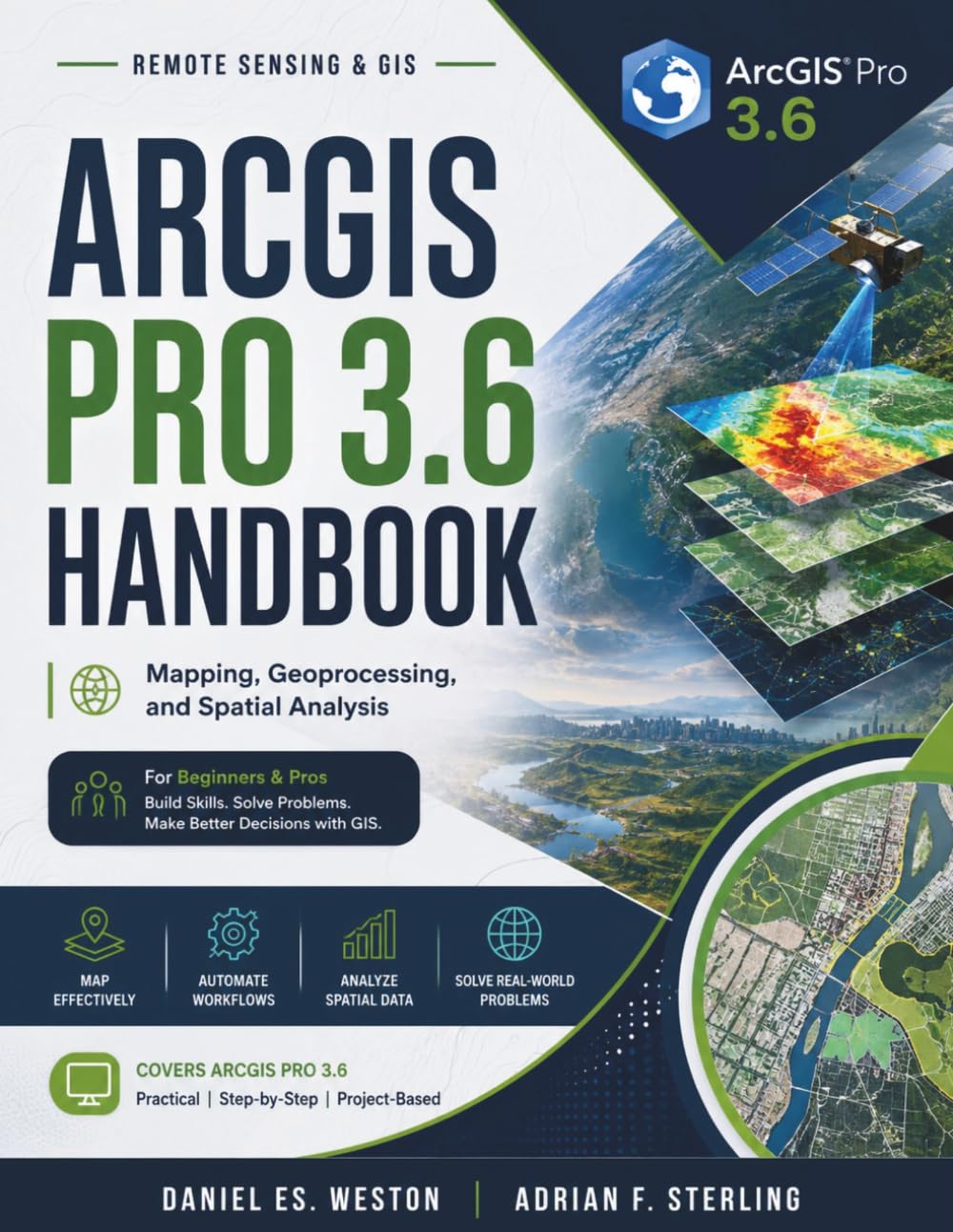
ARCGIS PRO 3.6 HANDBOOK: Mapping, Geoprocessing, and Spatial Analysis kindle
por Daniel ES. Weston



Descrição do livro
You already know your way around a professional GIS project: geodatabases, geoprocessing, finished maps. Then the work grows. A classified satellite scene, an organization-wide data-quality mandate, a utility network spanning a whole service territory, a live feed that never stops. The comfortable desktop workflow is no longer enough.
This is exactly where most references stop. They cover the fundamentals well, then leave you to assemble the specialized extensions, enterprise infrastructure, and production workflows on your own. Advanced geospatial work is unforgiving of guesswork: the wrong interpolation misleads everyone downstream, an unverified classification becomes a liability, and workflows scaled without automated quality control multiply errors silently.
This advanced companion volume is built for that transition. Across sixteen progressive chapters it develops each capability from first principles, works every formula inline rather than asserting it, demonstrates methods with fully worked numerical examples, and closes each topic with a case study tied to a real professional role, so you learn not just how, but when a method is the right one.Inside, you will be able to:
• Derive information from imagery through spectral indices, supervised and unsupervised classification, accuracy assessment, and change detection.
• Model spatial structure with semivariograms, kriging in its major forms, cokriging, and conditional simulation, and communicate the uncertainty honestly.
• Automate data-quality control, multi-site evaluation, network tracing, and map production with repeatable Python workflows.
• Model connected utility and trace networks, manage cadastral parcels with survey-grade adjustment, and score sites with demographic and trade-area analysis.
• Extend GIS into the field, across an enterprise deployment, and into real time, and process dense LiDAR point clouds, address locators, indoor maps, and design-to-GIS integration.Comprehensive, consistently structured coverage
From advanced analytical extensions through enterprise data models to field, facilities, big-data, and production cartography, every chapter follows the same rigorous structure, with learning objectives, theory, worked examples, practice problems and a full answer key, key terms, and a role-based case study, so the book serves as both a study companion and a dependable desk reference.
It is written for working GIS analysts, specialists, coordinators, and administrators who have outgrown introductory material, and for advanced students and geospatial professionals preparing for specialized responsibilities. It assumes core desktop GIS fluency and builds genuine depth from there.
Add this practitioner-tier reference to your library and start matching the right advanced method to the data, audience, and scale in front of you.












Autores populares
Icon Group International (285) Publishing lmgdaw (262) Nikolay Krechet (164) Kennie B Journals (112) Riddler Books (98) Charles Nehme (95) webmarbook design (95) Mint and Cherry Notebooks (79) Iwona Makara (76) Mary Hirose (75) NAK Legal Publishing (74) Jillo Trukudo (73) Just Visualize It (69) Talor Press (68) Quick Witted Coconut (67) matlasor Sticker's (64) Miller Sye (63) Moonpeak Library (63) Ondrej Sarek (63) Roggie Clark (63)